r

"Say that I starved; that I was lost and weary: That I was burned and blinded by the desert sun; Footsore, thirsty, sick with strange diseased; Lonely and wet and cold, but that I kept my dream!"
Everett Ruess

It's hard to introduce a river like the Escalante...certainly not mighty like it's neighbor, the Colorado. Neither reliable or controlled, it's the result of 320 square miles of red rock drainage. It picks up the confluence of Calf Creek and Boulder Creek with periodic feeding from the many washes and side canyons.
Because of its remote beauties and stunning landscapes it's no wonder that this river is a unique prize for river runners. Seasonal runoff's that support this river also add to the complexity of a successful visit. Most people won't even attempt this river if the flow does not meet or exceed the recommended flow of 50 cfs at the USGS gauging station several miles above stream from the put-in. Following these guidelines makes this river runnable an average of 1 every 5 years, with possible stretches of double that during dry seasons.
Another consideration that also prevents groups from floating this river is it's remote landscape with miles of sand and stone that have few trails that reach all the way to the rivers edge. This means a self-rescue is your only way out to roads miles from the river. In many places the sheer stone cliffs drop hundreds of feet from the top straight into the river making an exit impossible. The further you progress down stream the river becomes home to huge boulders dislodged from above. These massive obstacles, sometime the size of cars, make the already twisted path complicated to navigate.
The river itself runs the same orange and brown that surrounds the river with the silt it constantly carries. In an area where water is so scare, this becomes your only or easiest drinking solution on some stretches. The smell alone may turn some people away. Any water rescued should be treated before consumption. On every trip I have found dead animals and litter spread from flooding along the route.

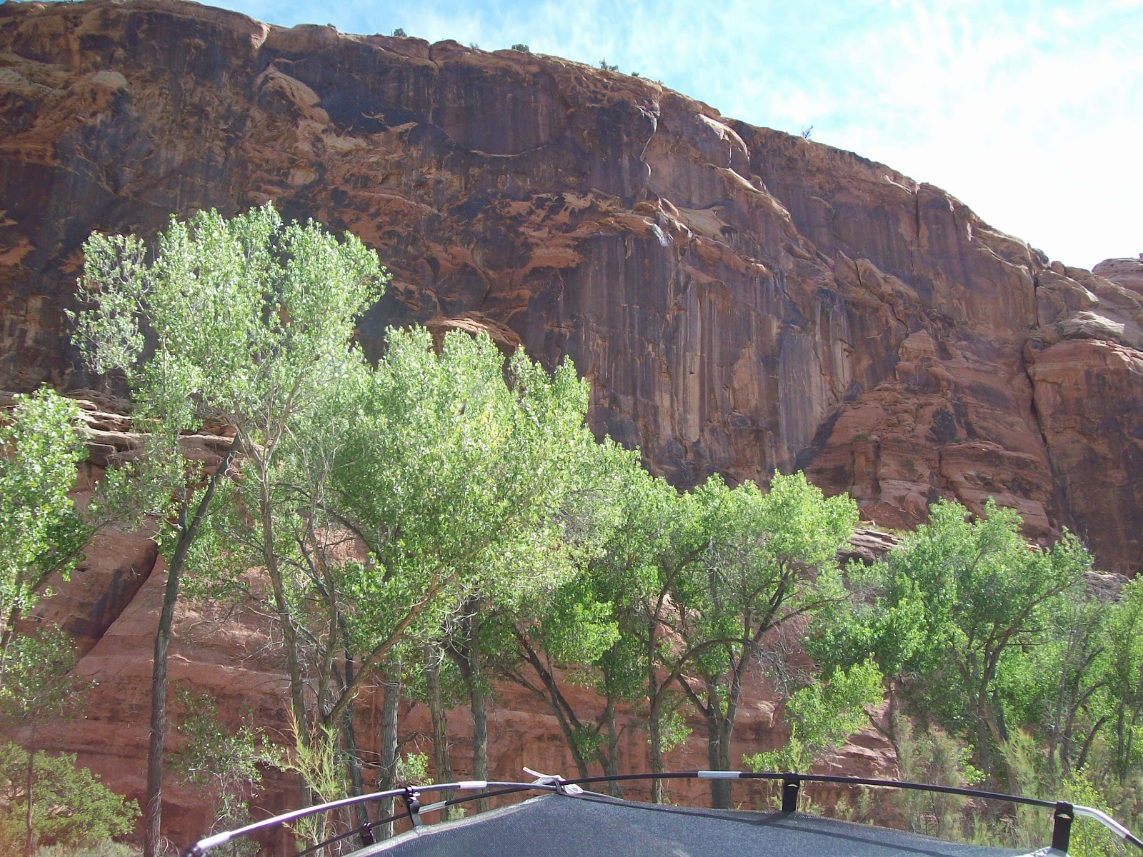
In many places the river is intruded by invasive Russian Olive trees that have washed down stream from higher elevations and chocked out slower growing native plants along the banks. Although several efforts have been completed or underway, these are a nuisance that can't be avoided. In areas where they have been cut down they often end up end the water where they become more problematic and less avoidable. Looking in the above photo you can see these almost grey leaf branches on both sides of the stream bed.
The final question for anyone attempting this river becomes the take-out. Only 2 options are available for anyone considering the entire length. I have heard of people using Fence Canyon in the Egypt 3 area as a take-out for cutting the trip in half, but having done this hike myself several times, with a boat this would be even more difficult than the Crack-in-the-wall route. The take-out would be one of the following: Crack-in-the-wall or a pickup on Lake Powell. Those willing to pack out should leave a whole day to transfer gear from the river to trail head an plan on 2 trips to get everything out. From there it's a dirt road back to Escalante. Leaving a ride at the trail head or scheduling a pick up from one of the many services in town are a must. The second option would be to continue the roughly 5 miles to Explorer Canyon and meet a scheduled pickup from the ferry services available from Bullfrog Marina. The take off is a little more than an hour and costs around 400 dollars for a group of 2.
No comments:
Post a Comment